Mobile laser scanner FARO Orbis
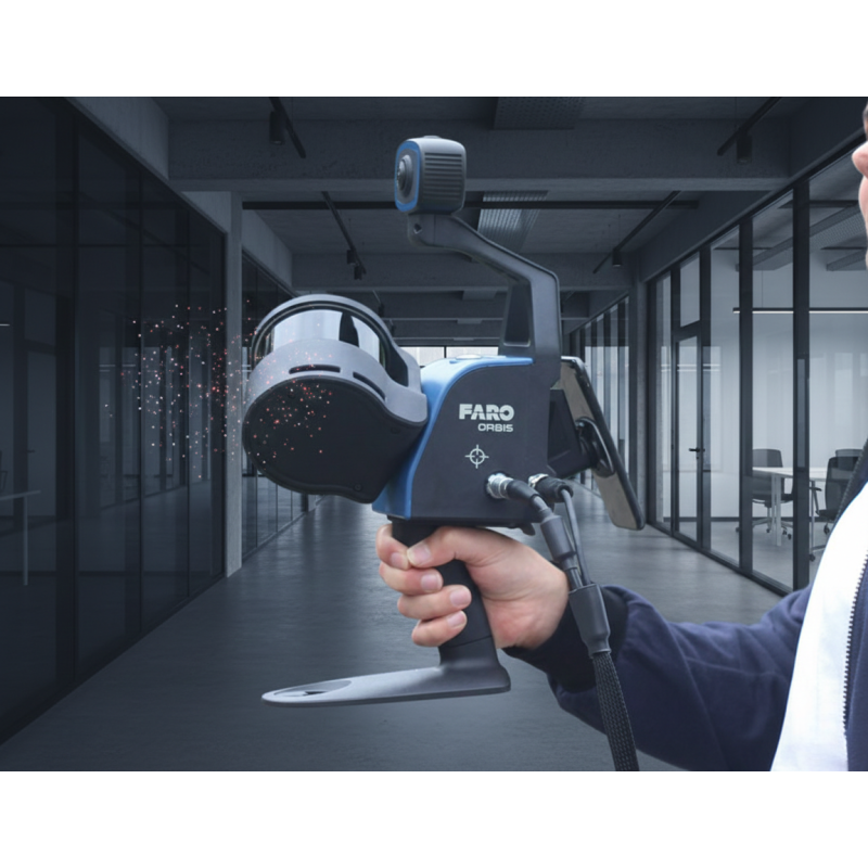
For capturing the as-built condition of buildings and creating accurate technical documentation, we use the FARO Orbis mobile laser scanner. This handheld 3D scanning device is based on SLAM technology and enables fast and efficient data acquisition without the need for static tripod-based scanning.
The scanner is primarily used for interior spaces, technical rooms, industrial facilities, and complex layouts where reliable spatial data must be captured quickly and with high accuracy. FARO Orbis offers a scanning range of up to 120 meters and delivers point cloud accuracy of up to ±5 mm.
Thanks to its integrated camera, the scanner produces colored point clouds, which significantly improve data readability and simplify further processing in CAD and BIM software. The collected data can be seamlessly used for the creation of 2D drawings, 3D models, and building passport documentation.
The main advantages of mobile scanning include speed, flexibility in the field, and the ability to operate in confined or hard-to-access areas, where traditional surveying methods would be time-consuming or impractical.
By using FARO Orbis technology, we are able to provide our clients with fast, accurate, and consistent data, forming a reliable foundation for design work, renovations, and long-term building management.
Martin Hunčovský
Scanning specialistRelated Articles
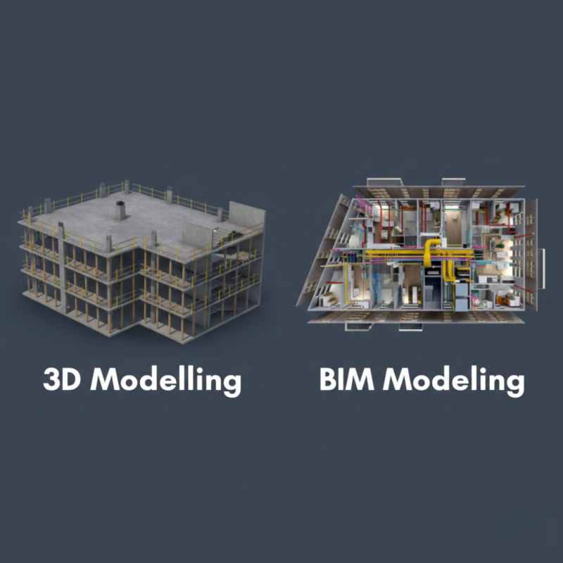
BIM in Practice: How it works in Real Projects
Building Information Modeling (BIM) is transforming the construction industry by changing how buildings are designed, built, and managed. This article explains how BIM works in practice and highlights its real-world benefits based on actual projects.
DJI Mavic 3M: Aerial Surveying for Building Documentation
Aerial surveying has become an essential part of accurate building documentation. Using the DJI Mavic 3M drone, we can efficiently capture hard-to-reach areas and complement ground-based surveys without complex technical interventions.