BIM in Practice: How it works in Real Projects
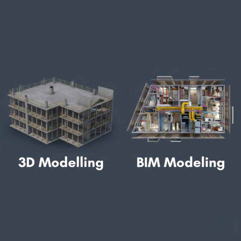
Building Information Modeling (BIM) is far more than a 3D model of a building. It is a comprehensive digital process that connects geometric data with information about structures, building systems, materials, and operations throughout the entire life cycle of a building.
What Is BIM
BIM represents a digital model of the physical and functional characteristics of a building. In addition to geometry, it includes spatial relationships, technical parameters, quantities, and links between different disciplines involved in the project.
BIM is a process that begins in the design phase and continues throughout the building’s entire life cycle—from planning and construction to operation and maintenance.
Benefits of BIM in Practice
In real-world projects, BIM provides several key advantages:
Clash detection – identifying conflicts between disciplines before construction starts
Improved coordination – all disciplines work within a single coordinated model
Accurate quantities – automated quantity take-offs directly from the model
Visualization – clients can clearly understand the building before it is built
Practical Example
During a project for a Toyota Manufacturing industrial facility, BIM was used to identify 47 clashes between building systems and structural elements. All issues were resolved before construction, resulting in estimated savings of 2.3 million CZK and a reduction of the construction schedule by approximately six weeks.
The Future of BIM
BIM continues to evolve. Emerging technologies such as artificial intelligence, machine learning, and IoT sensors are expanding its capabilities and enabling more advanced data-driven building management. At CHPP, we actively follow these developments and continuously invest in training our specialists and improving our workflows.
Daniel Chvojka
Related Articles
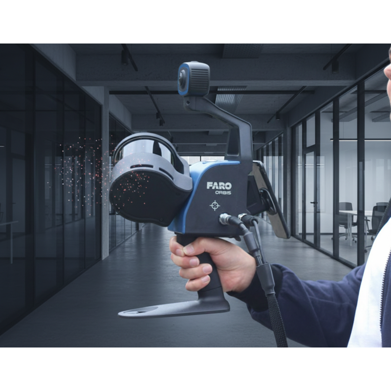
Mobile laser scanner FARO Orbis
For capturing the as-built condition of buildings, we use the FARO Orbis mobile laser scanner. Based on SLAM technology, it enables fast and efficient data collection in complex interiors without the need for static scanning setups.
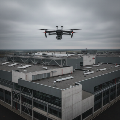
DJI Mavic 3M: Aerial Surveying for Building Documentation
Aerial surveying has become an essential part of accurate building documentation. Using the DJI Mavic 3M drone, we can efficiently capture hard-to-reach areas and complement ground-based surveys without complex technical interventions.