Blog
News, articles and insights from passportization, architecture and engineering

DJI Mavic 3M: Aerial Surveying for Building Documentation
Aerial surveying has become an essential part of accurate building documentation. Using the DJI Mavic 3M drone, we can efficiently capture hard-to-reach areas and complement ground-based surveys without complex technical interventions.
How Building Surveying Works Step by Step
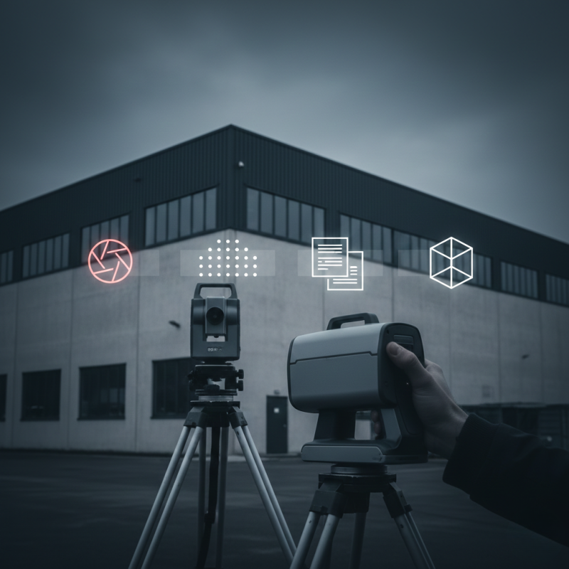
Building surveying is the first and most important step toward accurate building passportization, 3D models, or BIM documentation. Many property owners are unsure what the process involves, how long it takes, or how it affects building operations. This article explains the entire process clearly, step by step.
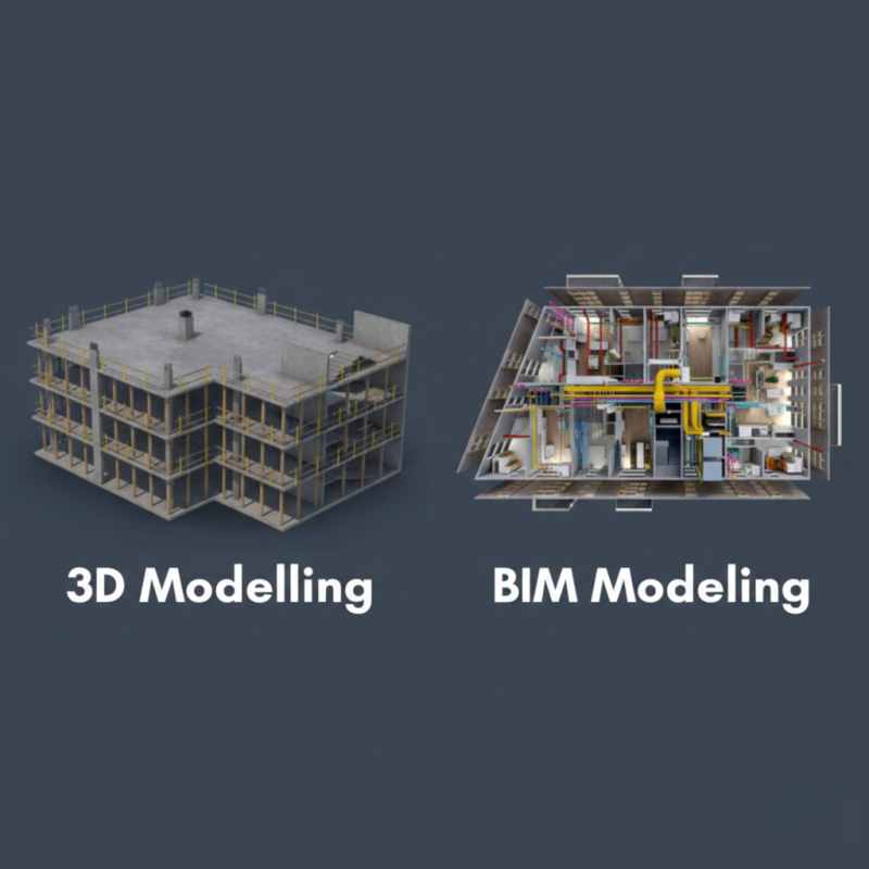
BIM in Practice: How it works in Real Projects
Building Information Modeling (BIM) is transforming the construction industry by changing how buildings are designed, built, and managed. This article explains how BIM works in practice and highlights its real-world benefits based on actual projects.
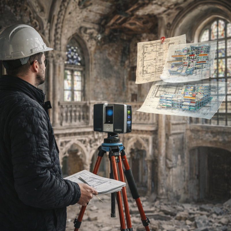
Building Passportization of Historic Buildings: Challenges and Solutions
Building passportization of historic structures is one of the most demanding areas of technical documentation. Older buildings often lack reliable records, feature complex geometry, and are subject to strict heritage protection requirements. High-quality documentation is therefore essential for renovation, preservation, and long-term management.
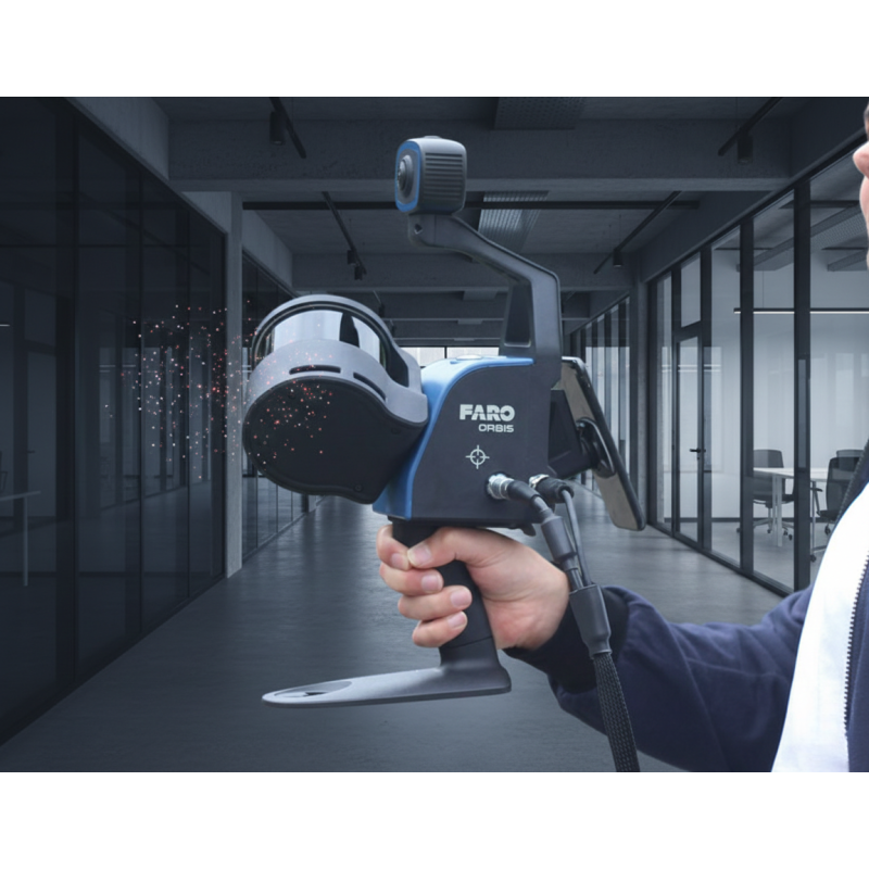
Mobile laser scanner FARO Orbis
For capturing the as-built condition of buildings, we use the FARO Orbis mobile laser scanner. Based on SLAM technology, it enables fast and efficient data collection in complex interiors without the need for static scanning setups.