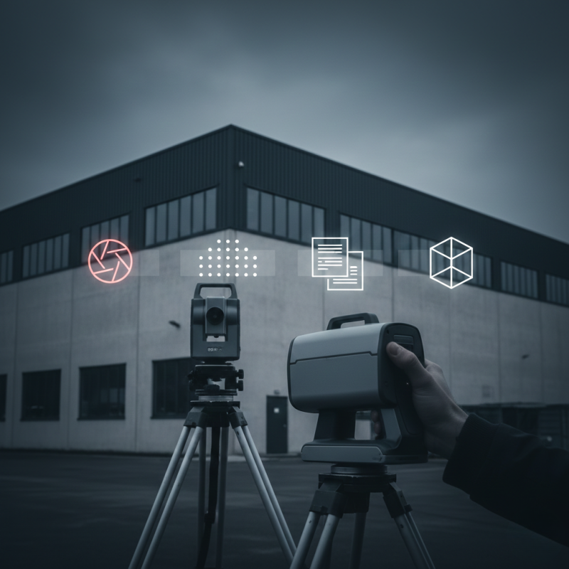
DJI Mavic 3M: Aerial Surveying for Building Documentation

The DJI Mavic 3M is used as a complement to ground-based surveying whenever an overhead perspective is required. Typical applications include roofs, facades, large sites, and historic buildings where physical access is limited or impractical.
When Aerial Surveying Is Useful
Drone-based surveying is particularly effective for:
- roof and facade documentation
- surveying large sites and surroundings
- visual inspection of building condition
- supporting data for passportization and 3D modeling
Aerial data collection significantly speeds up the process and reduces the need for scaffolding or lifting equipment.
Data Collected by the Drone
Aerial surveying provides:
- detailed photographic documentation
- orthophotos of buildings and sites
- data inputs for 3D modeling
- clear visual overview of the actual condition
These datasets complement laser scanning and terrestrial measurements.
Why We Combine Drones with Ground Surveys
A drone alone does not replace detailed interior surveys or high-precision laser scanning. Its value lies in capturing areas that are difficult or unsafe to access. Combining aerial and ground-based data results in a comprehensive and accurate representation of the building.
Client Benefits
Using aerial surveying delivers:
- faster data acquisition
- improved safety
- reduced access costs
- more complete documentation for further use
Martin Hunčovský
Related Articles
How Building Surveying Works Step by Step
Building surveying is the first and most important step toward accurate building passportization, 3D models, or BIM documentation. Many property owners are unsure what the process involves, how long it takes, or how it affects building operations. This article explains the entire process clearly, step by step.
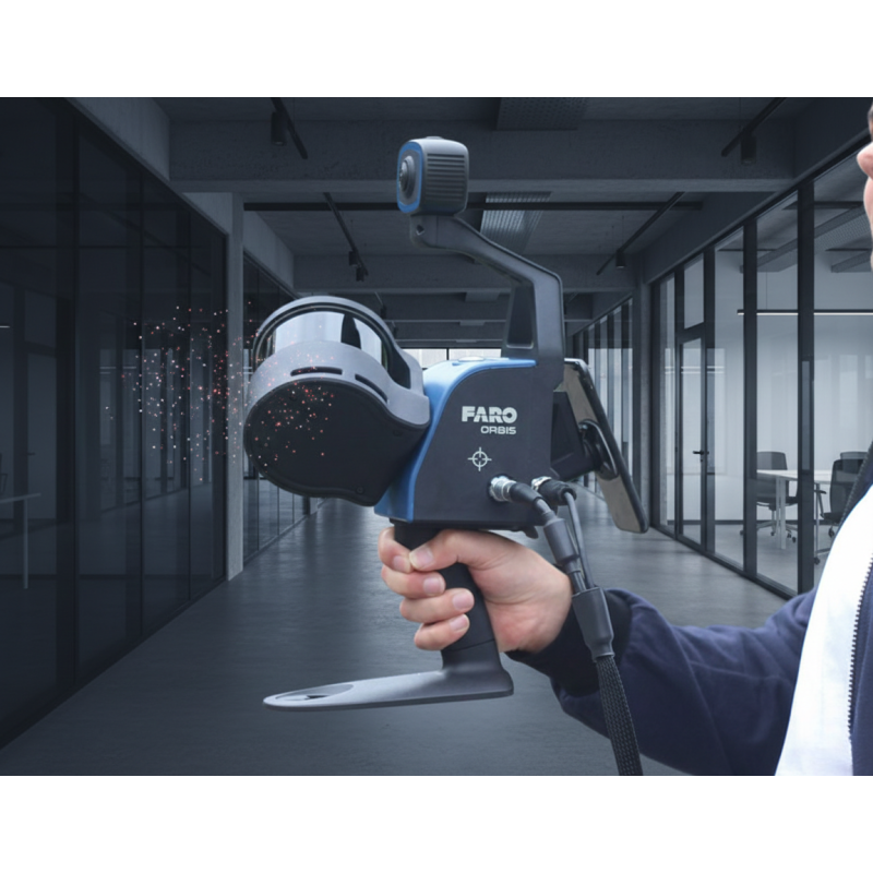
Mobile laser scanner FARO Orbis
For capturing the as-built condition of buildings, we use the FARO Orbis mobile laser scanner. Based on SLAM technology, it enables fast and efficient data collection in complex interiors without the need for static scanning setups.