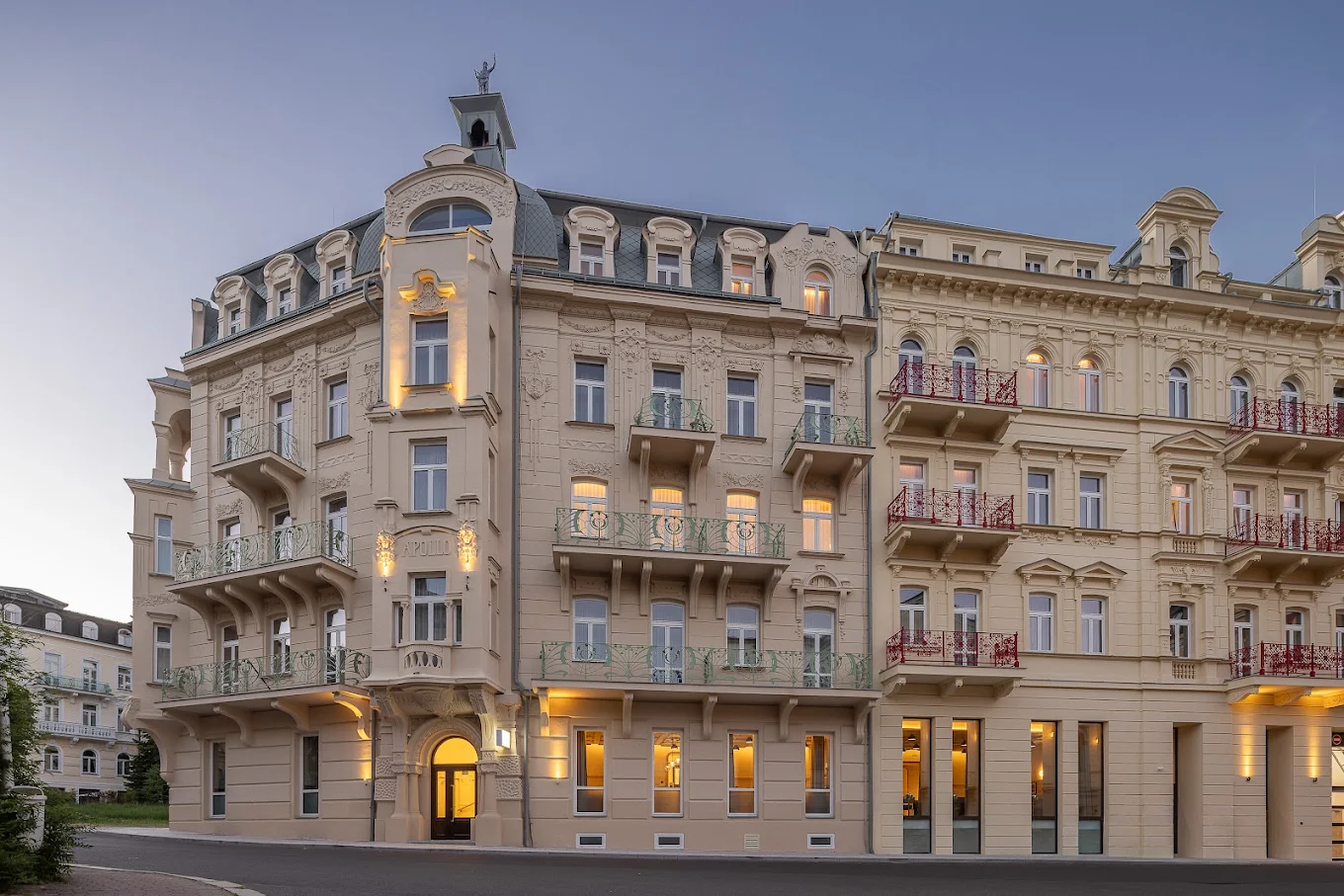
Swissôtel Mariánské Lázně
Client
DBDA
Year
2026
Locality
Mariánské Lázně, Czech Republic
As part of the renovation of the historic Swissôtel Mariánské Lázně, we carried out a comprehensive building passportization and existing conditions survey of this heritage-listed property. The objective was to accurately capture the building's current state, verify its compliance with the project documentation, and create reliable digital data for the ongoing reconstruction.
The building has a total floor area of approximately 23,100 m², consists of seven storeys, is divided into seven building sections, and contains 386 rooms. To collect accurate spatial data, we combined laser scanning, existing conditions surveying, and drone surveying.
Project Challenges
The project's greatest challenge was the size and complexity of the historic building. Processing a large volume of spatial data while maintaining a high level of accuracy required continuous refinement of both the digital model and the project documentation.
Another important aspect was working within a heritage-listed building undergoing an extensive renovation, where accurate documentation of the actual building condition was essential.
Project Deliverables
The client received a complete set of digital documentation supporting construction control and further design work, including:
- Building passportization
- Point cloud
- 3D building model
- Floor area calculations
- 2D documentation
- As-built documentation
- Project documentation
- Deliverables in RVT, IFC, DWG and PDF formats
Project timeline
Capturing the existing condition
The historic building was surveyed during its renovation to accurately capture its current condition and create a reliable foundation for documentation and construction verification.
Collecting the spatial data
Laser scanning was combined with drone surveying to capture accurate spatial data. The result was a 62 GB point cloud documenting both the interior and exterior of the building.
Model and documentation
The collected data was transformed into a 3D building model, floor area calculations, and 2D documentation, providing reliable information for construction control and the continuation of the renovation.
Technologies used
Laser scanning
Laser scanning enabled the precise capture of the historic building's geometry and provided accurate spatial data for digital modelling and project documentation.
Drone imagery
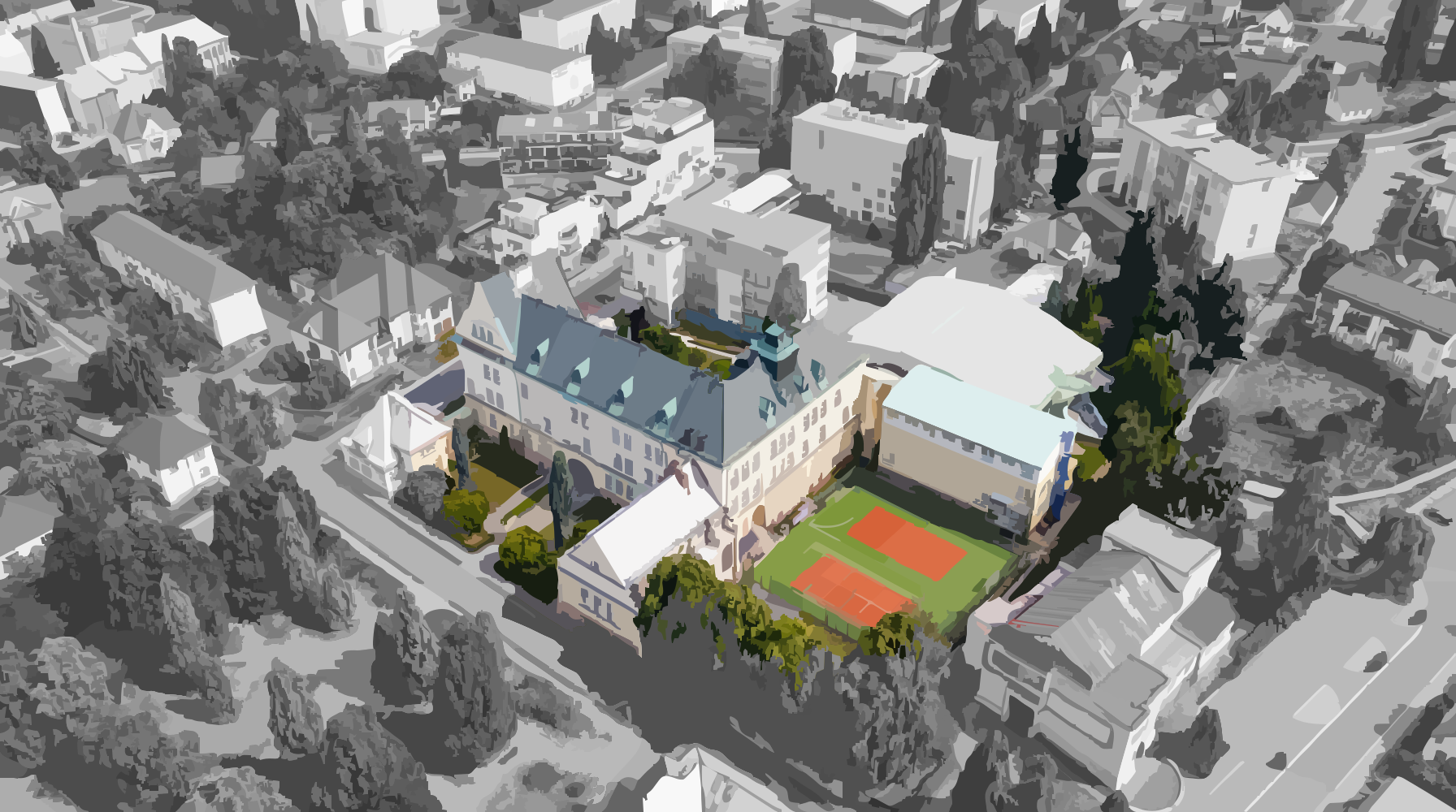
Drone surveying complemented ground-based measurements by capturing the building exterior and hard-to-reach areas, creating a complete digital representation of the site.
Point cloud
The 62 GB point cloud combined all collected spatial data into a highly accurate digital foundation for creating the building model, drawings, and floor area calculations.
We use cookies to give you the best experience on our website. Necessary cookies are always active, analytics and marketing cookies are only used with your consent. More information is available on our Cookies page.