As-Built Documentation of a Mixed-Use Village Building and the Municipal Office in Oplany
Client
Anonymised
Year
2024
Locality
Oplany, Central Bohemia, Czech Republic
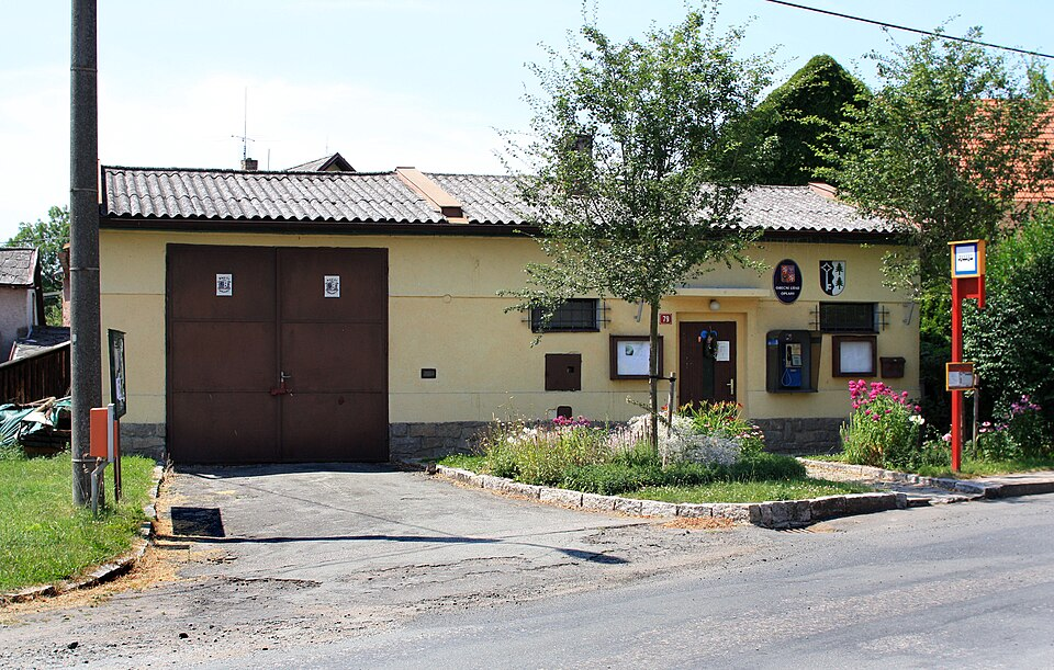
We surveyed two municipal buildings in Oplany. The village building, which holds a pub, a shop, a workshop, a former classroom and two flats, covers 372 m² of built-up area and 611 m² of usable floor area in 27 rooms. The municipal office with its garage covers 144 m² of built-up area and 104 m² of usable floor area in 6 rooms. Both were recorded by measured survey and delivered as as-built documentation with the same set of drawings, together with aerial imagery.
In a small village the municipal estate is rarely one building with one use. A pub, a shop, an office and sometimes a flat share the same roof, each with its own occupier and its own routine. In Oplany we surveyed two such buildings. The village building has 372 m² of built-up area, 611 m² of usable floor area and 27 rooms. Its basement holds a pub, its ground floor a shop, a workshop, a former school classroom with the facilities that go with it and two flats, one of them owned by the municipality and one in private use. The roof space is unused. The second building, the municipal office with a garage, is single storey with no basement and has 144 m² of built-up area, 104 m² of usable floor area and 6 rooms. Our summary technical report also records it as the base of the village fire brigade. Both buildings needed the same thing, as-built documentation of the condition they are actually in.
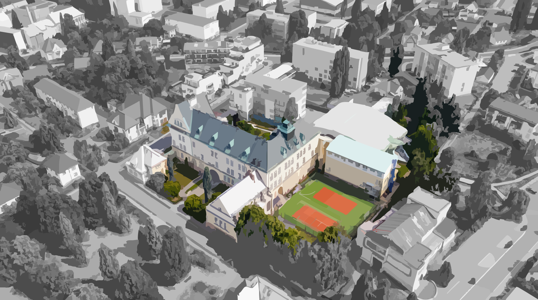
Both were recorded by measured survey on site, with photographs taken throughout. Drone imagery was flown over both buildings on the same day, 9 July 2024. The roof and the upper parts of the envelope cannot be documented reliably from ground level, and because both buildings stand in the same village the aerial work fitted into a single visit. The survey data was then turned into a 2D drawing set issued in PDF and DWG. For the village building it covers the basement, the ground floor and the roof space, for the municipal office the ground floor, and for both a section, elevations and a roof drawing. Each building also has a room schedule that ties room numbers and areas back to the floor plans.
The work produced two document sets built the same way, one for the village building and one for the municipal office. At the village building an energy performance certificate followed, prepared by another specialist outside our scope, and it cites our documentation as one of its sources. That is the usual chain on municipal property. Once measured geometry and room areas exist, everything else is built on top of them, from an energy assessment to a repair brief to splitting running costs between the different uses under one roof. Without them all of that is estimated from whatever paperwork happens to be at hand.
Project challenges
A mixed-use building cannot be surveyed as a single operation. The pub in the basement, the shop, the workshop, the former classroom and the two flats have different occupiers, different opening hours and usually different keyholders, so site work has to be booked ahead and taken in stages. Where a flat is in private use, access is agreed with the occupier rather than through the municipality. The layout is the second issue. 27 rooms spread across a basement, a ground floor and a roof space in 611 m² of usable floor area means a lot of small spaces, each with its own number and area. The finer the layout, the easier it is for the room schedule and the floor plan to drift apart, so the two are kept in step from the start rather than reconciled at the end. The unused roof space belongs in the set like everything else and has a floor plan of its own. The municipal office shows the opposite point. Its built-up area is 144 m² and its usable floor area 104 m², so every figure needs to say which of the two it is, otherwise both get read as the same number.
Project outputs
- Floor plans of the village building, that is the basement, the ground floor and the roof space
- Ground floor plan of the municipal office
- A section, elevations and a roof drawing for both buildings
- Room schedule for both buildings
- Drawing set issued in PDF and DWG
- Photographic record of both buildings
- Aerial photographic record of both buildings
Project timeline
Preparation and coordination
Arranging access to both buildings and to every use inside the village building, and agreeing the scope of the documentation and the delivery formats.
Building survey
Surveying both buildings from the basement to the roof space, with photographs and drone imagery flown for both buildings on one date.
Processing the captured data
Checking the measurements, calculating room areas and bringing the data for both buildings into one common structure.
Producing the documentation
Drawing the floor plans, sections, elevations and roof drawings for both buildings, together with the room schedules.
Review and handover
Checking the drawings against the room schedules, verifying that both sets are complete and handing the documentation over in PDF and DWG.
Technologies used
On-site survey
A measured survey and walkthrough of both buildings from the basement to the roof space, as the basis for the drawing set.
Photographic record
Photographs of the interiors and the envelope of both buildings, taken throughout the survey.
Drone imagery
Aerial images of both buildings covering the roof and the upper parts of the envelope that cannot be reached from the ground.
2D drawing documentation
Floor plans, a section, elevations and a roof drawing, issued in PDF and DWG.
Room schedule
A list of rooms with numbers and areas, tied to the floor plans and prepared the same way for both buildings.
We use cookies to give you the best experience on our website. Necessary cookies are always active, analytics and marketing cookies are only used with your consent. More information is available on our Cookies page.