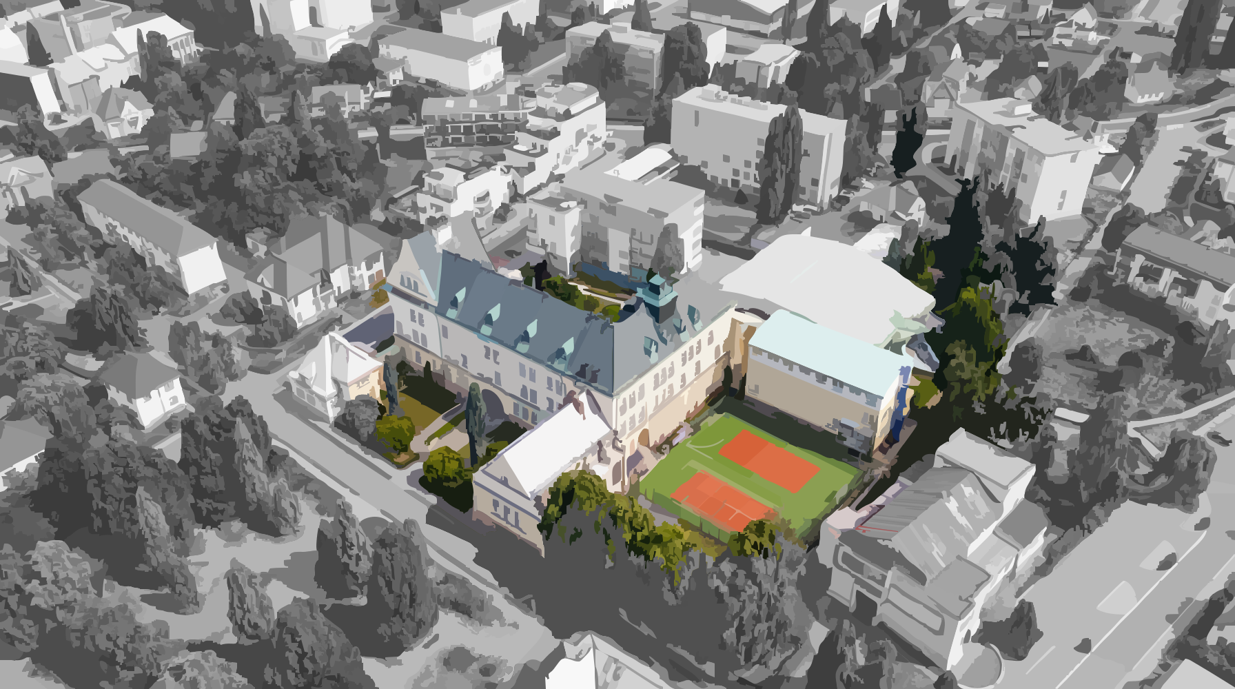
BIM as-built documentation of three school campuses, Hradec Králové Region
Client
Hradec Králové Region (Královéhradecký kraj)
Year
2026
Locality
Hostinné, Rychnov nad Kněžnou and Nový Bydžov, Czech Republic
The Hradec Králové Region commissioned as-built documentation for eleven buildings across three of its secondary schools, and set the job up as a BIM pilot. We surveyed the campuses in Hostinné, Rychnov nad Kněžnou and Nový Bydžov with a static laser scanner, a handheld mobile scanner and drone photogrammetry of the roofs. The point clouds feed a federated BIM model and a building passport prepared under Czech decree 131/2024 Coll.
The brief was to replace scattered paper records with one consistent data set for eleven buildings on three school campuses. The region wanted as-built documentation and a building information model it can actually use for maintenance, facility management and investment planning. The building stock is mixed, from the main teaching blocks through gym halls and a sports hall to a villa, flats and garages next to the halls of residence and a single detached garage. The floor areas quoted in the tender annex add up to 24,125 m² across 33 storeys.
Field work ran in January and February 2026. Corridors, staircases, entrance halls and exteriors were captured with a FARO Focus Core static scanner, and the delivered scan projects contain 286 individual scans. Classrooms, staff rooms, offices and washrooms were walked with a FARO Orbis handheld scanner, which is far quicker in small rooms while still registering onto the static backbone. An Emlid Reach RS3 GNSS receiver georeferenced the clouds, and five drone flights added 1,373 aerial images of the roofs and other areas that are awkward to reach from the ground. The scans were registered in SCENE and exported as dense and decimated E57 clouds together with a set of spatially located 360° photographs.
Geometry is only half of the job. The model is split into three discipline models, architecture, structure and building services, and every modelled object has to comply with the client information requirements and carry a CCI classification code. Deliverables go through the region's common data environment in native format and in IFC4, and they are checked automatically against a machine readable specification. The written and drawn parts of the passport follow annex 11 of Czech decree 131/2024 Coll. Alongside them come a review of the records surviving at the building authority, a check that each building is used in line with its occupancy permit, a register of regulated technical equipment and a land survey of the campuses including utility routes confirmed by the network operators.
Project challenges
Schools are surveyed while teaching goes on, and that shapes everything. In Hostinné the on-site data collection was compressed into a single day from 7:30 to 18:30, with several teams working in parallel, floor by floor, a caretaker opening locked rooms and a dedicated slot for the canteen and kitchen. Classrooms were entered during lessons. The second challenge was the data itself. The client runs its own data standard derived from the national construction data standard, requires CCI classification on every modelled object and validates the models by machine, so the mapping from Revit parameters into IFC took several rounds to settle. The third was the paper trail. At the three building authorities we photographed 4,794 sheets of archived drawings and permits, because there is no other way to establish what documentation for these buildings still exists.
Project outputs
- Dense point clouds in E57 and decimated clouds for everyday viewing
- Set of spatially located 360° photographs linked to the point cloud
- Technical model validating the data structure across three disciplines, architecture, structure and building services
- Federated BIM model per campus in native format and in IFC4
- Building passport under annex 11 of Czech decree 131/2024 Coll., drawings and written part
- Review and digitisation of the records held by the building authority
- Verification that each building is used in line with its occupancy permit
- Land survey of the campuses covering plan position, levels and utility routes confirmed by the operators
- Register of regulated technical equipment with data sheets, manuals and inspection reports where available
- Closing evaluation report on the BIM pilot
- Workshop for students of two technical secondary schools in the region
Project timeline
Preparation and BIM execution plan
The information requirements, the BIM execution plan, team roles and the rules for working in the common data environment are agreed before anyone goes on site.
Building survey
Circulation areas and exteriors are captured with a tripod scanner, ordinary rooms with a handheld scanner and roofs by drone, all tied back to one spatial backbone.
Point cloud processing and georeferencing
Individual scans are registered into one cloud, cleaned, split per building and placed in the coordinate system. A decimated cloud is produced next to the dense one for everyday viewing.
On-site collection of non-graphical data
A model is more than geometry. Inspection reports, data sheets and equipment manuals are collected on site, the condition is photographed and operational information is recorded.
Modelling, validation and handover
The model is built from the cloud and split by discipline, objects are classified against the data standard, the model is validated automatically and only then published to the common data environment.
Technologies used
Static laser scanning
A FARO Focus Core captured corridors, staircases, entrance halls and exteriors. The delivered scan projects hold 286 individual scans that form the spatial backbone of every building.
Handheld mobile scanning
Classrooms, staff rooms, offices and washrooms were walked with a FARO Orbis handheld scanner. In small rooms it is much faster than a tripod scanner and it registers onto the static backbone.
Drone aerial imagery
Five flights with a DJI Mavic 3M produced 1,373 images of roofs and parts of the campuses that cannot be documented from ground level. The imagery was processed into a point cloud and merged with the rest of the data.
Georeferencing and site survey
An Emlid Reach RS3 GNSS receiver placed the clouds in one consistent coordinate system. A land survey of each campus added plan position, levels and utility routes confirmed by the network operators.
BIM model to the client information requirements
The Revit model is split into architecture, structure and building services. Objects carry CCI classification codes and are delivered in native format and in IFC4 through the region's common data environment.
We use cookies to give you the best experience on our website. Necessary cookies are always active, analytics and marketing cookies are only used with your consent. More information is available on our Cookies page.